|
|
 | 5. | Climatic and Air Hygiene Maps as Aids for Planning and Zoning (Example: Climate Atlas Federation Region Stuttgart) |
| | | |
 5.1 Introduction 5.1 Introduction |
In the context of the ongoing discussion about new residential and commercial development, fundamental studies of climate and air are gaining increasing importance for producing qualified land-use planning in densely-settled areas. Since planning-related statements refer to specific areas, the use of maps as an informational basis is recommended. Maps in this context are a very significant tool for the planner, and are also a meaningful method of communicating information for politicians and the interested public. As such, spatially-related cartographic representations are necessary for attaining climatic and air-hygienic goals.
The production of such maps requires the technically-measured collection of individual parameters with map-scale representation as well as calculated simulation with statistical regression models (GERTH, 1986) or macro-scale models (see Chapter 4.3.7).
The more meaningful and convincing is the representation of climatic and air-hygienic phenomena, the greater is the chance they will be adequately addressed in the planning process.
A climate atlas was developed for the territory of the former neighbourhood association (NACHBARSCHAFTSVERBAND STUTTGART, 1992) in 1992 already. The studies were later extended and expanded to cover the territory of the Verband Region Stuttgart (VERBAND REGION STUTTGART, 2008). Data acquisition and processing were realised with the help of a geographic information system (GIS). This also allows for further analysis steps through special GIS integrated model software, like the calculation of wind fields or cold air drainages as well as the intersection of different climate data.
In connection with the collection of basic data in 2005, three infrared flights over the whole investigation area were undertaken. Furthermore, the German Meteorological Service (DWD) carried out an extensive one-year ground measurement programme (covering temperature, humidity and wind) and used statistical methods to draw up areal representations of different climatic elements. Information on the air quality was included from emission inventories, immission inventories for Greater Stuttgart and air measuring stations within the regional measuring network. Maps from the Climate Atlas Baden-Württemberg, LUBW (2006) were also integrated. The results were summarised in analysis maps with a scale of 1:20,000 (which is the scale also used in land-use plans). The next step was to create evaluated maps with planning-relevant indications on the climate and air quality.
The goal of the planning recommendations is first and foremost to motivate the planner towards a stronger consideration of climatic criteria (BECKRÖGE, 1990, FEDERATION REGION STUTTGART, 2008). As such, a planning project should incorporate the standards of the "Planning Recommendations" map.
If a clear climatic compatibility is not prescribed, planners and politicians must objectively weigh environmental compatibility with other concerns. In principle, this weighing can have the consequences that the planning is not pursued further, that the climatic and air-hygienic concerns are ignored, or that the planning is modified to avoid negative climatic and air-hygienic effects as far as possible. In this last case, detailed appraisals are usually necessary.
Especially climate maps and maps with hints for urban planning offer a wide range of data for usage in the regional/land use planning (FNP). The digital climate atlas 2008 is also drafted on the assessment of the effects of land use planning on the environment. It contains a consistant data record for all communities. The climate data are available, the climate atlas points out climatic issues but there are deepened investigations necessary for an assessment.
Besides the KLIMAATLAS BADEN-WÜRTTEMBERG (Climate Atlas Baden-Württemberg), further climate atlases are available for Baden-Württemberg, e.g. for the regions of Lake Constance-Upper Swabia and Southern Upper Rhine. And the transnational climate atlas Klimaatlas Oberrhein Mitte-Süd – Atlas Climatique du Fossé Rhénan Méridional was developed for France , Switzerland and German in 1996 already.
|
|
| | | |
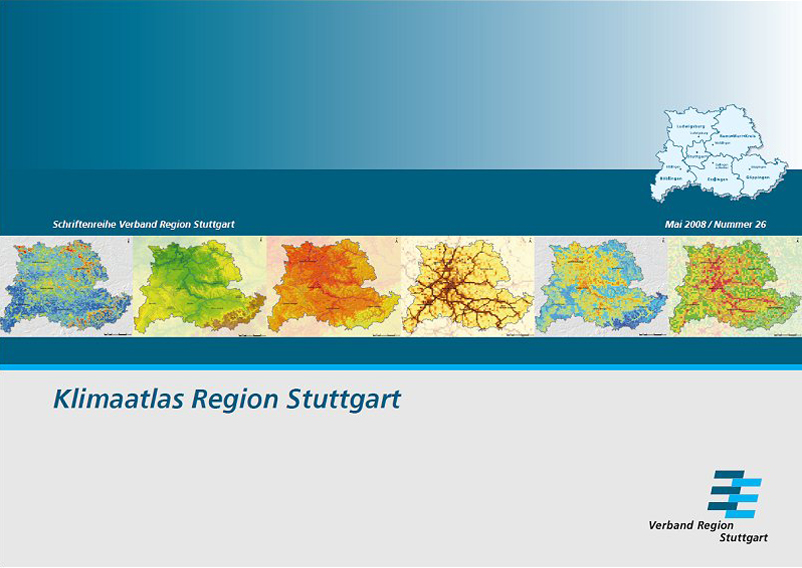 |
| Fig 5/1: Climate Atlas Federation Region Stuttgart (2008) |
|